Solar eclipses are predictable because the motions of the Earth and Moon follow regular orbital patterns. The hard part is not knowing that an eclipse will happen. The hard part is calculating exactly where the Moon's shadow will fall, when each contact occurs, and what an observer at one location will see.
Modern eclipse prediction combines orbital mechanics, precise time standards, Earth's shape, and the Moon's uneven terrain. The result is a local schedule accurate enough for travel planning, photography, school observations, and scientific work.
Start with the Moon's orbit
A solar eclipse can happen only at new Moon, when the Moon is between Earth and the Sun. But most new Moons do not create eclipses because the Moon's orbit is tilted about five degrees relative to Earth's orbit around the Sun.
An eclipse requires the new Moon to occur near one of the Moon's orbital nodes, where the Moon's path crosses the plane of Earth's orbit. That is why eclipse seasons exist and why eclipses do not happen every month.
Prediction begins by calculating where the Sun, Earth, and Moon will be at a given time and whether their alignment is close enough for the Moon's shadow to reach Earth.
From alignment to shadow path
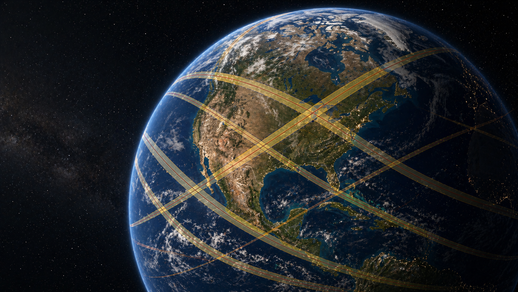
Once the geometry is known, the next step is to project the Moon's shadow onto Earth. The umbra marks where totality is possible. The penumbra marks the much wider partial eclipse region. For annular eclipses, the antumbra marks where the ring of fire is visible.
Earth is not a flat screen. It is a rotating, slightly flattened sphere with mountains, valleys, and observers at different elevations. The shadow path changes as Earth turns under the moving Moon shadow.
That is why eclipse maps have curved paths rather than simple straight lines.
What Besselian elements do
Many solar eclipse calculations use Besselian elements, a compact set of numbers that describe the geometry of the Moon's shadow relative to Earth near the time of an eclipse.
Instead of recalculating every orbital detail from scratch for every city, software can use these elements to compute local circumstances: contact times, magnitude, obscuration, Sun altitude, and whether totality occurs.
Besselian elements are not the whole eclipse by themselves. They are a precise mathematical summary that makes local calculations practical.
Lunar terrain matters
The Moon's edge is not smooth. Mountains and valleys along the lunar limb affect the exact moments when sunlight disappears and returns. This is why Baily's beads happen and why second and third contact can depend on the observer's location.
Modern predictions can account for detailed lunar topography. That improves the timing of contact points, especially near the edge of the path of totality where seconds matter.
Why old predictions were still impressive
Ancient astronomers, especially in Mesopotamia, recognized eclipse patterns long before modern physics. The Saros cycle showed that related eclipses repeat after about 18 years, 11 days, and 8 hours.
That pattern is powerful, but it is not enough for modern local prediction. The Saros can tell you that a related eclipse may occur. It cannot give you exact local contact times for a city, beach, mountain pass, or rooftop.
What accuracy means for observers
For most eclipse watchers, accuracy means knowing whether you are inside the path, when to put filters on or take them off, how long totality lasts, and how high the Sun will be.
Small differences matter. A short drive can change totality duration. A low Sun can make a building or ridge block the view. A location near the path edge may have dramatically different timing from one near the centerline.
Sources and related guides
- NASA GSFC's explanation of solar eclipse predictions describes ephemerides, Besselian elements, and local circumstances.
- NASA describes how Lunar Reconnaissance Orbiter topography improves modern eclipse map accuracy.
- Related SolarWatch guides: the Saros cycle, eclipse contact times, and Baily's beads.
See it in SolarWatch
SolarWatch uses eclipse elements and local circumstance calculations to turn a global eclipse into a location-specific plan. Open an eclipse, tap a point on the map, and compare the predicted contact times, obscuration, magnitude, Sun altitude, and totality duration for that exact place.